After having recuperated (a bit) from our Fish River Canyon hike, we left Ai Ais on Monday, in search of our new found friends from Oranjemund, but made a two hour detour to the Canyon Roadhouse, as advised by another hike party we had met at the Ai Ais watering hole. The Canyon Roadhouse is on the Hobas road (which we travelled with the shuttle about a week ago) just past where we had started the canyon hike.
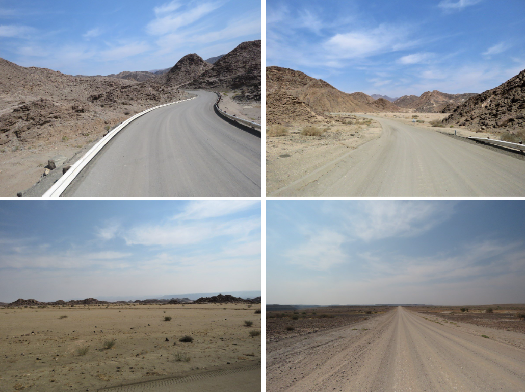
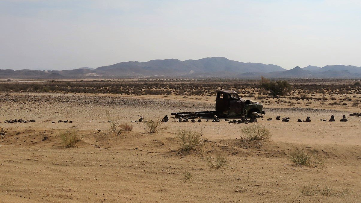
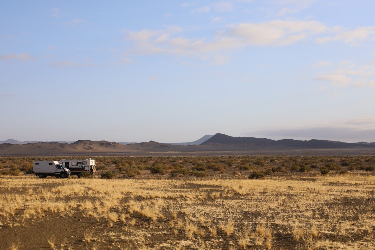
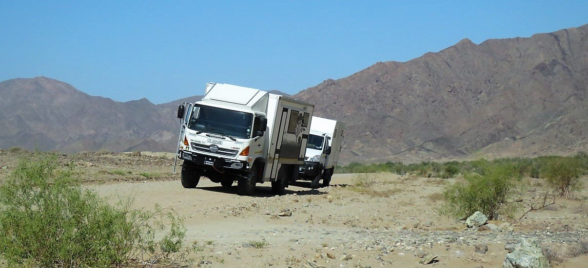
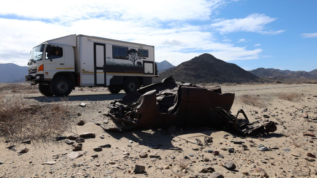
Leaving Ai Ais, we passed again through the holder-bolder rock mounts and the wide open rock strewn sand plains of the Richtersveld, with endless roads stretching into eternity. We saw what were going to see a million times over: discarded and rusted vehicles and all sorts of parts thereof as decoration of farms, road houses, petrol stations etc.
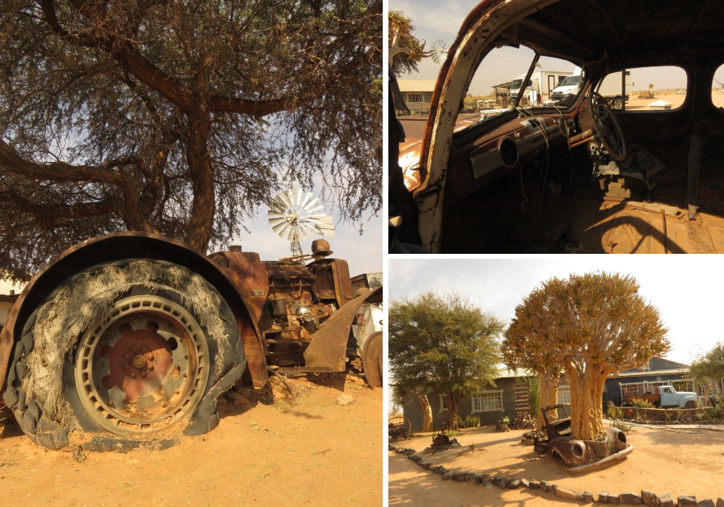
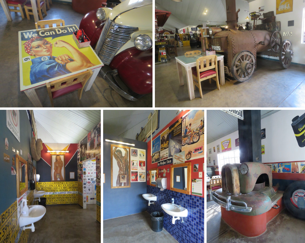
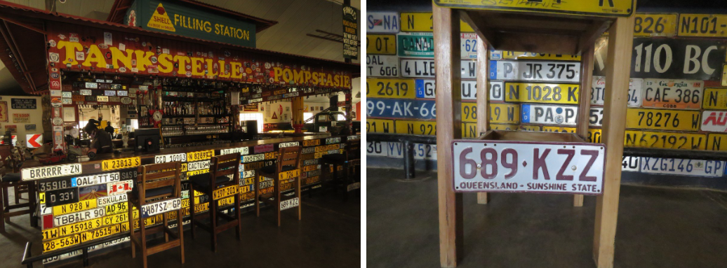
The Canyon Roadhouse proved worthy of its reputation: a cool and funky place with amazing collections of posters, cars and petrol pumps, funny signs and heaps of car number plates decorating the bar area. We even found some Australian ones. (Our oldest son lives at the Sunshine Coast in Queensland)
Although the bar was started as a passion of an ordinary Namibian, the place is now part of the Gondwana Group. The quirky décor extends as far as the toilet facilities. Each gender’s toilet block is decorated with what might appeal most to each gender (lots of pin up girls in the male toilet). The gents have a ‘Pandora’s box’ and the girls have a ‘Tjonkolo’s box’: open it to see what’s hidden inside and a bell goes off somewhere at the bar, signaling that your curiosity cost you a round at the bar!
We saw some cool t-shirts in the shop e.g. one with all the different levels of hotness (temperature wise) in the various parts of Namibia. ( Sorry I didn’t take a photo of that shirt, because a few days later in Sossusvlei and Sesriem we really couldn’t concur with any of the “hot” spots as indicated on the t-shirt. Story to follow later)
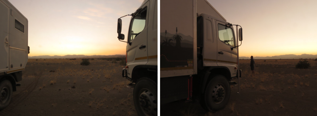
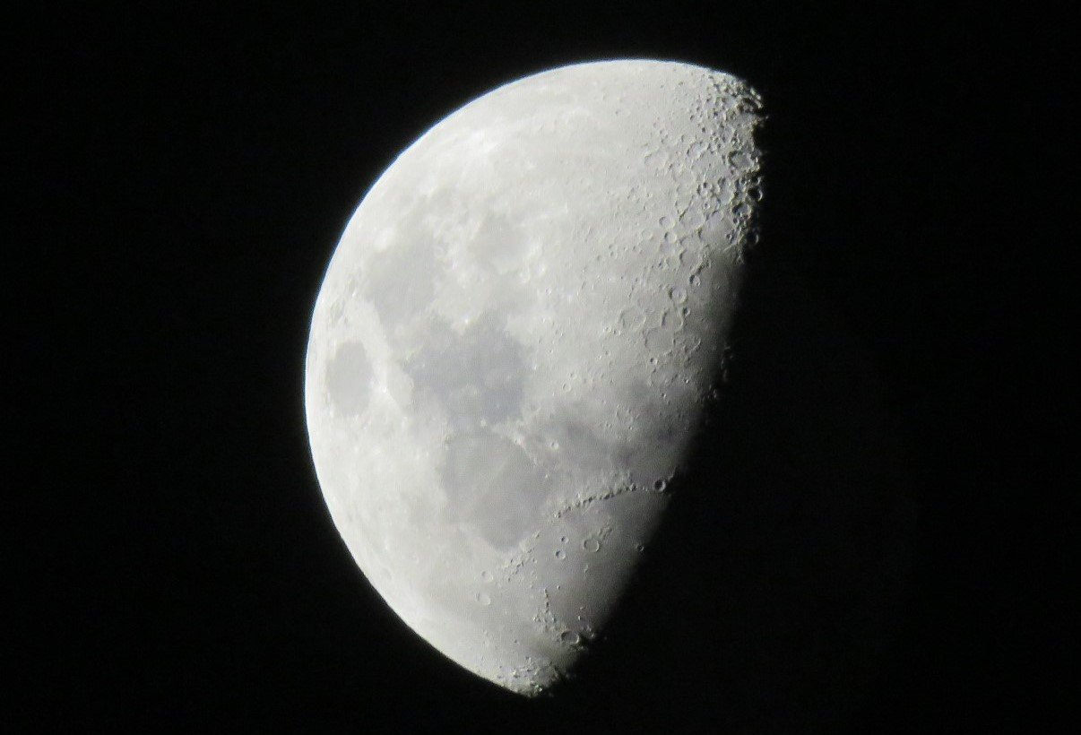
We had late lunch and a beer and then hit the road again towards Oranjemund for real. The sun started to set and we could see Trokkie’s shadow following on our left hand side. We pulled off somewhere in the veld, just past Kanabeam and I was thrilled that I could take a good shot of the moon.
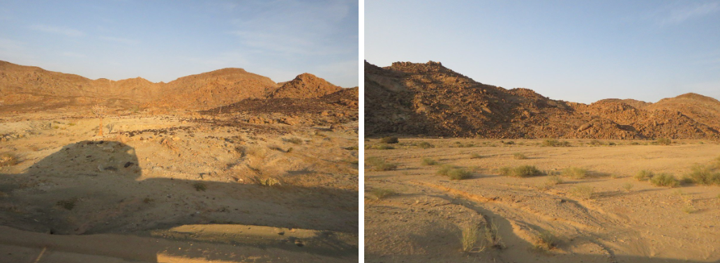
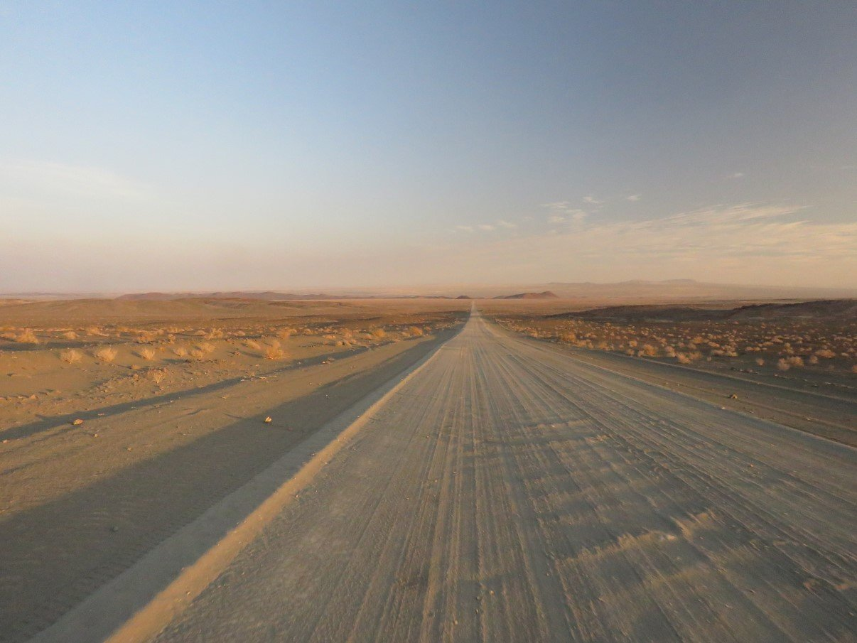
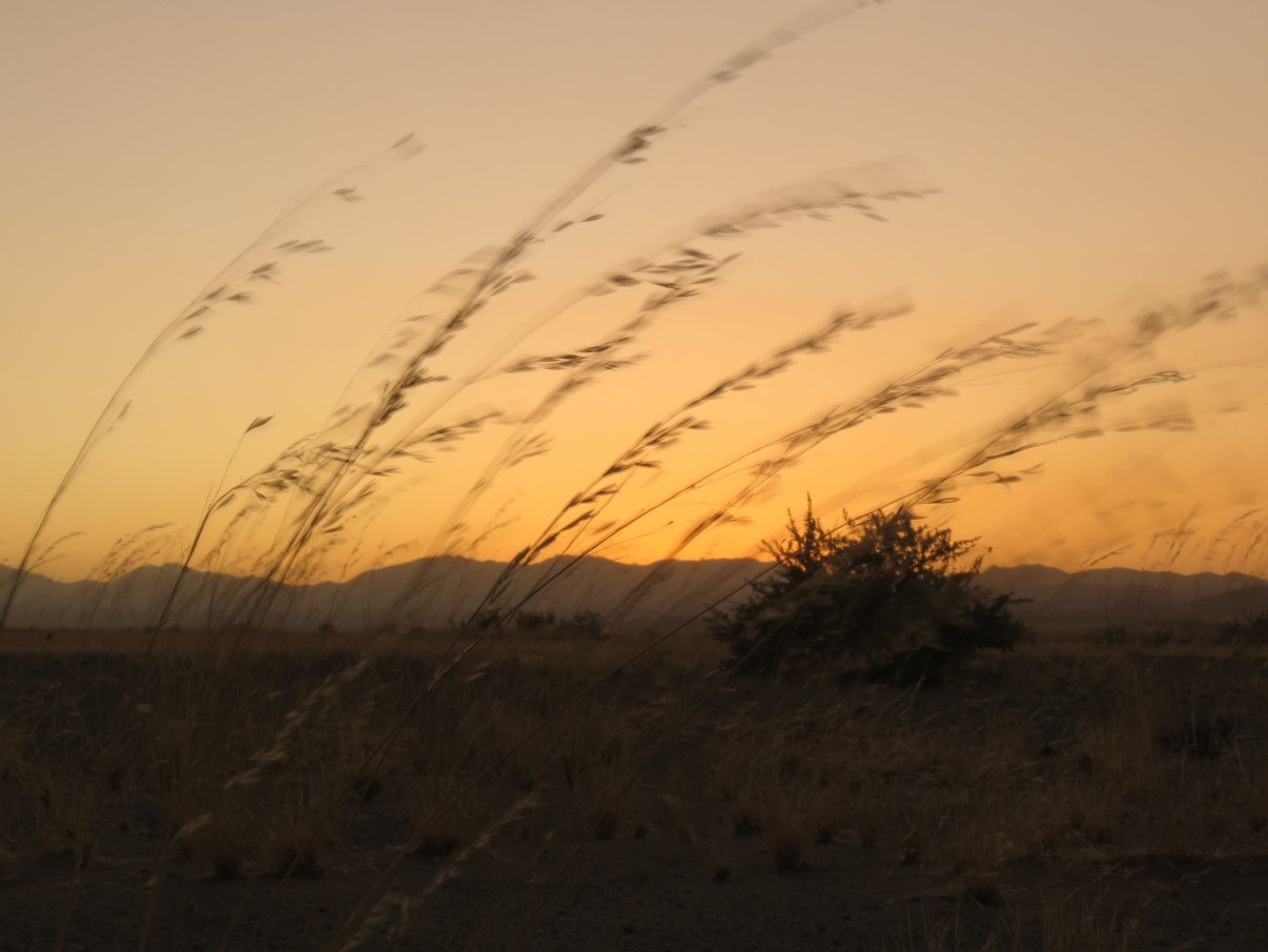
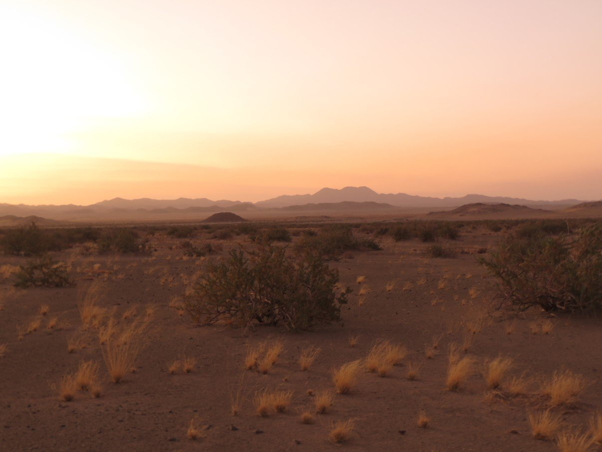
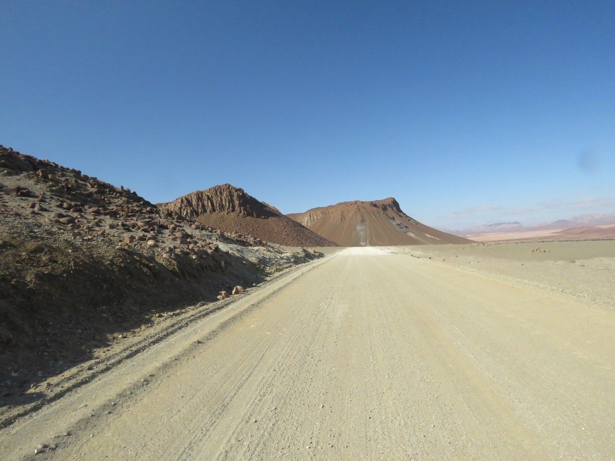
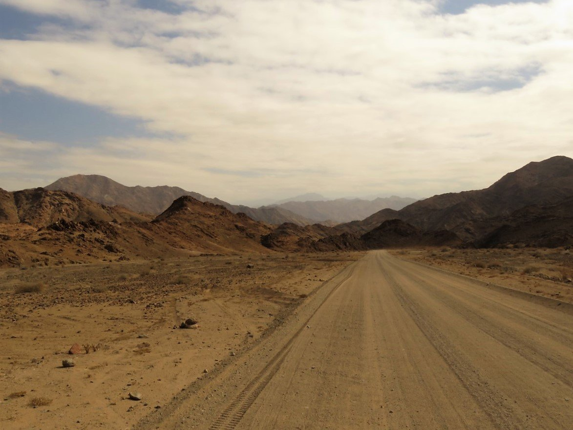
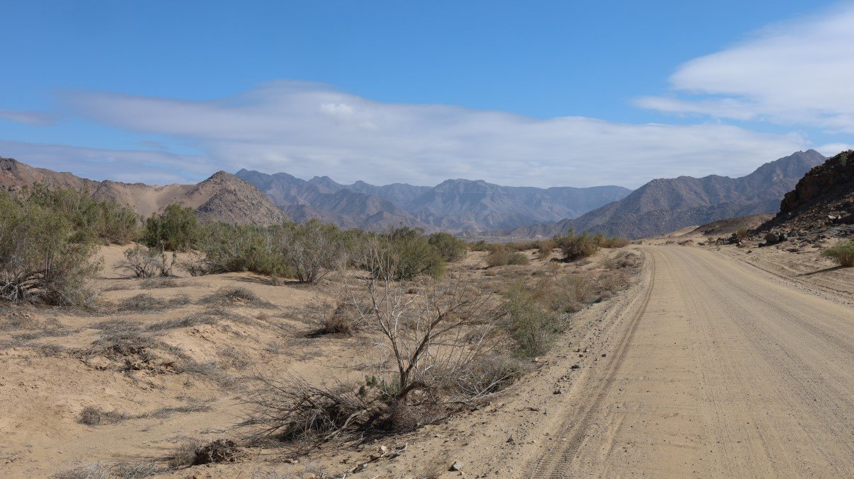
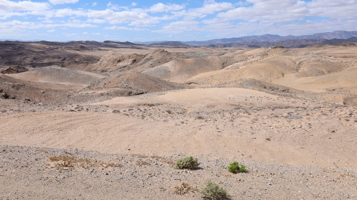
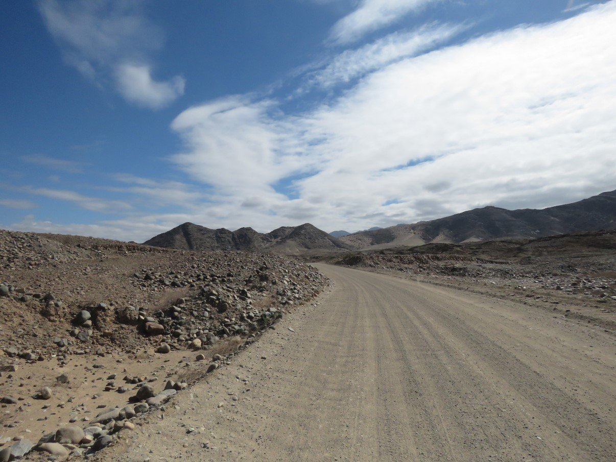
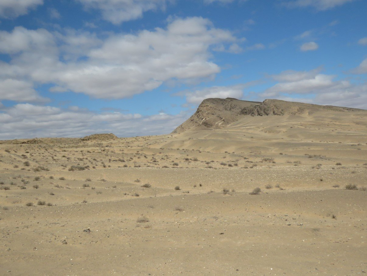
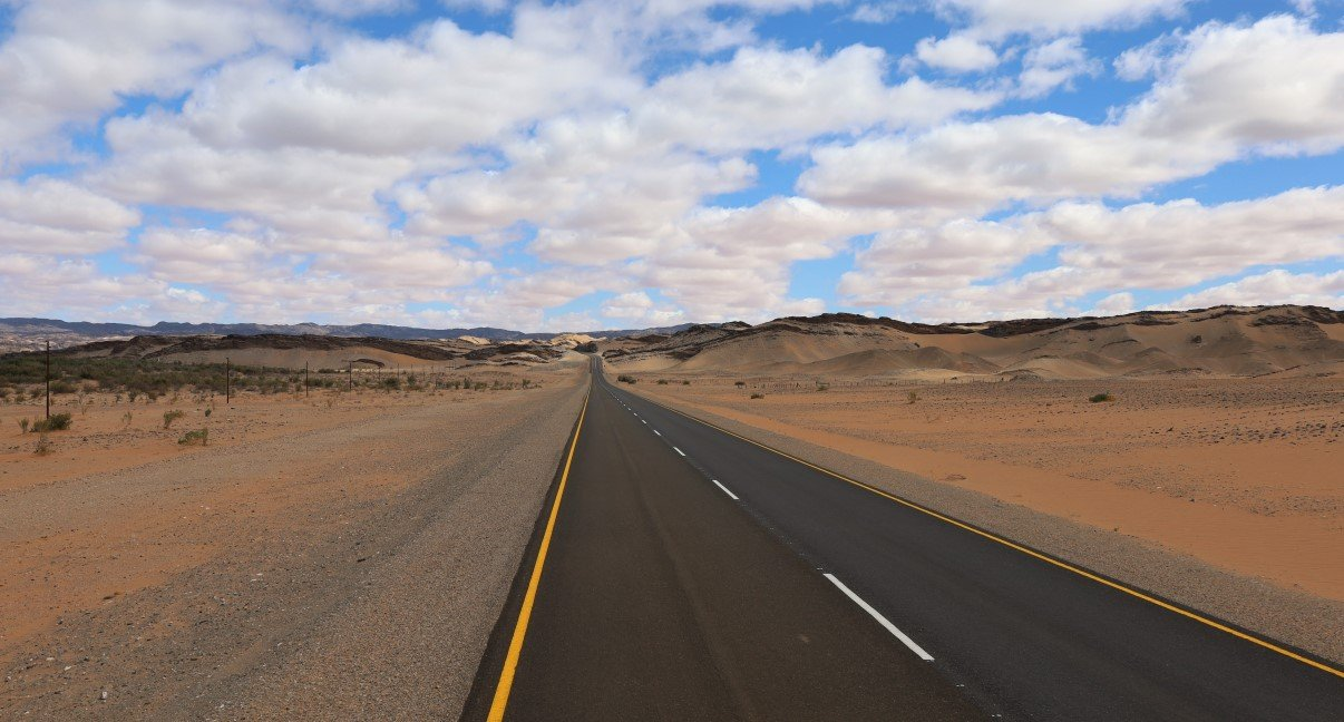
Next morning we continued through the rough and rugged Richtersveld. It’s an unforgiving stark world with dusty roads stretching as far as the eye can see to the jagged outcrops lining the horizon, either dissecting flat plains or winding between rocky hill tops.
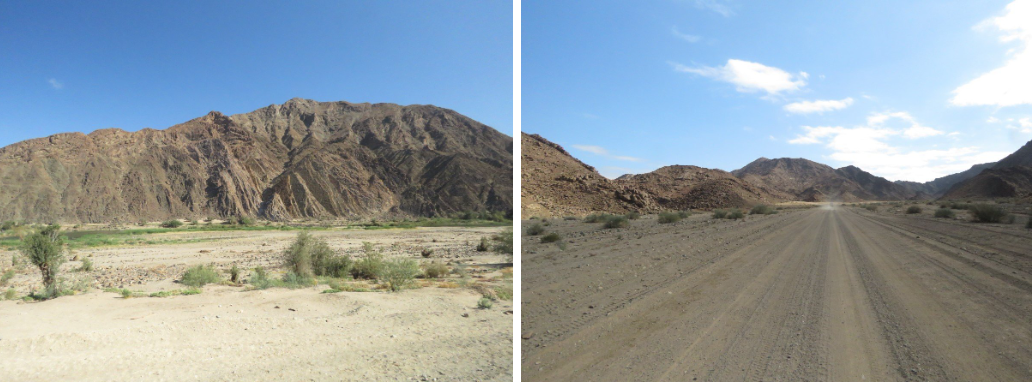
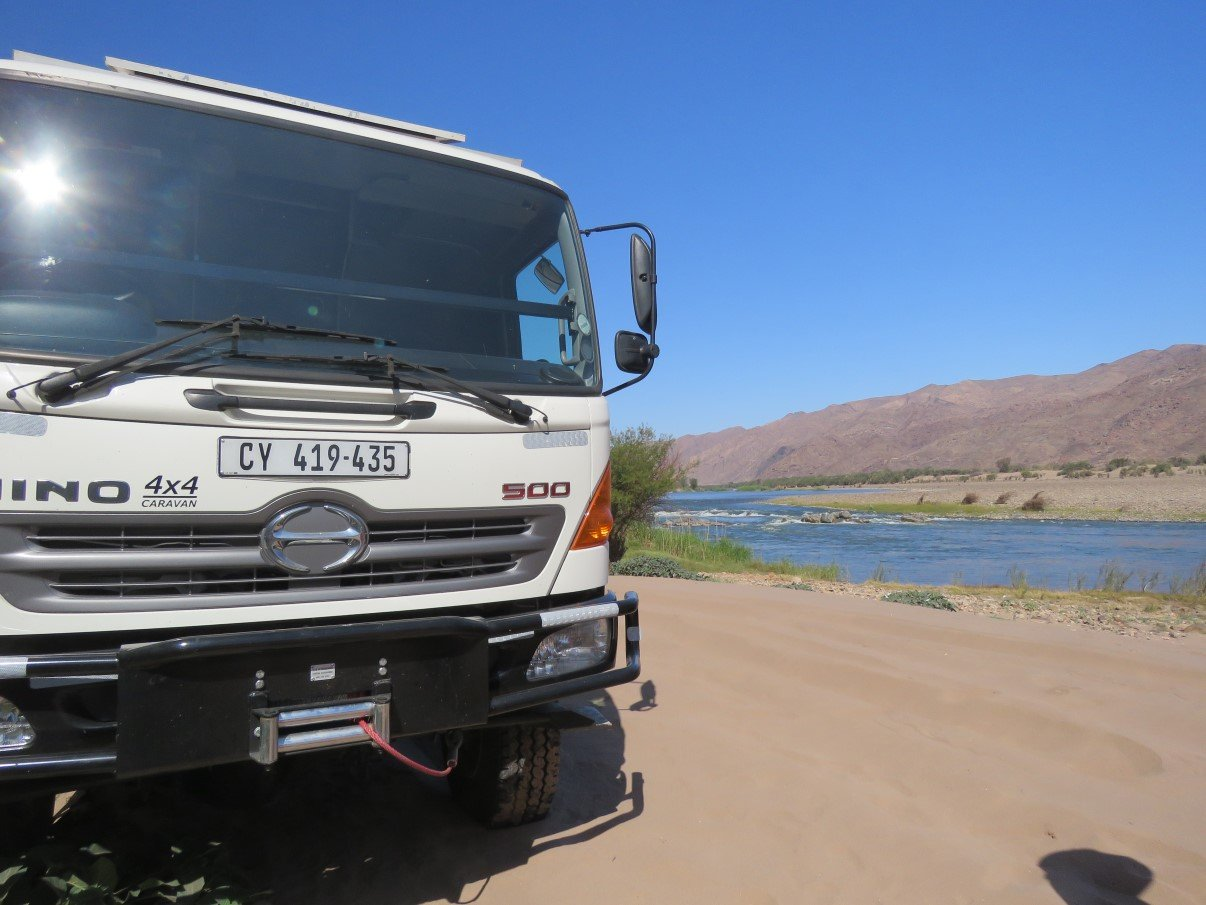
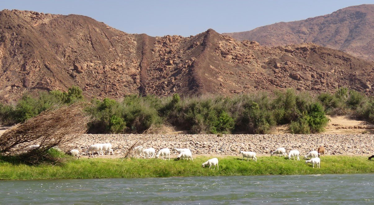
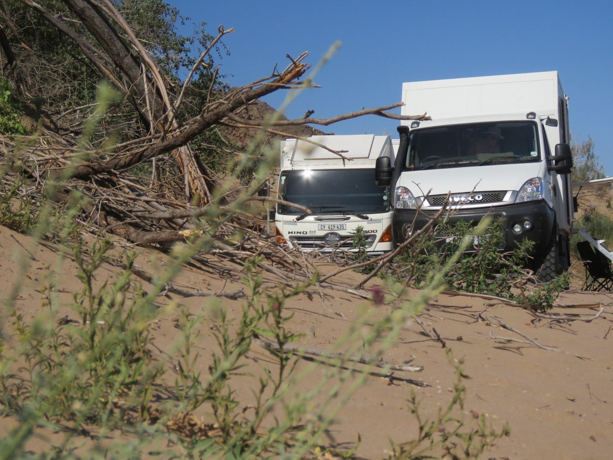
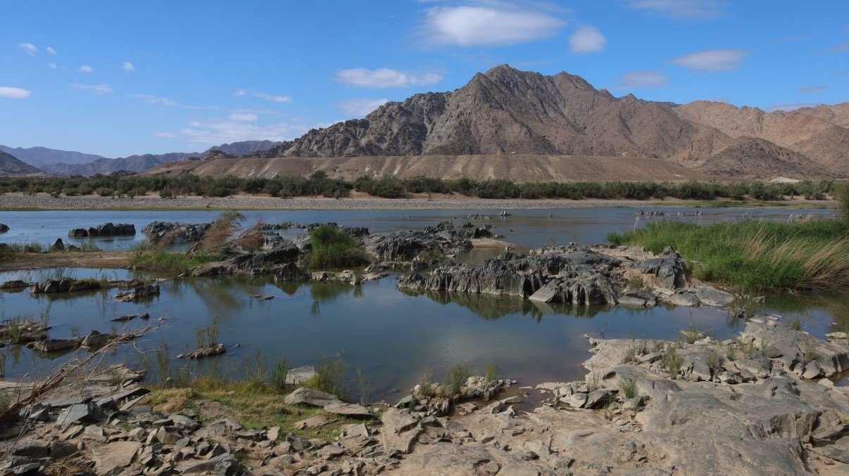
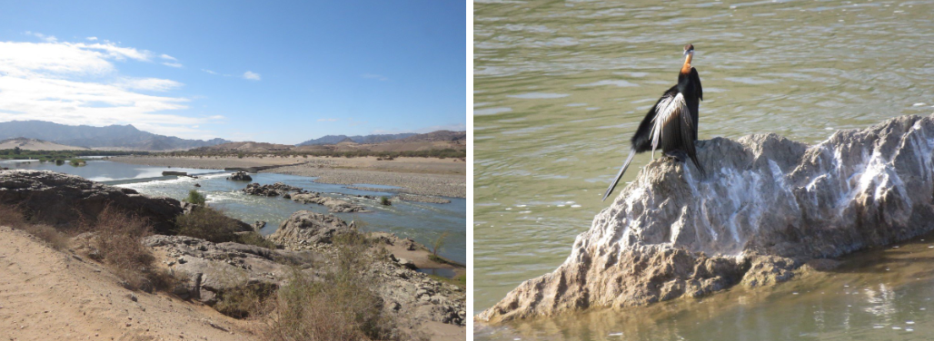
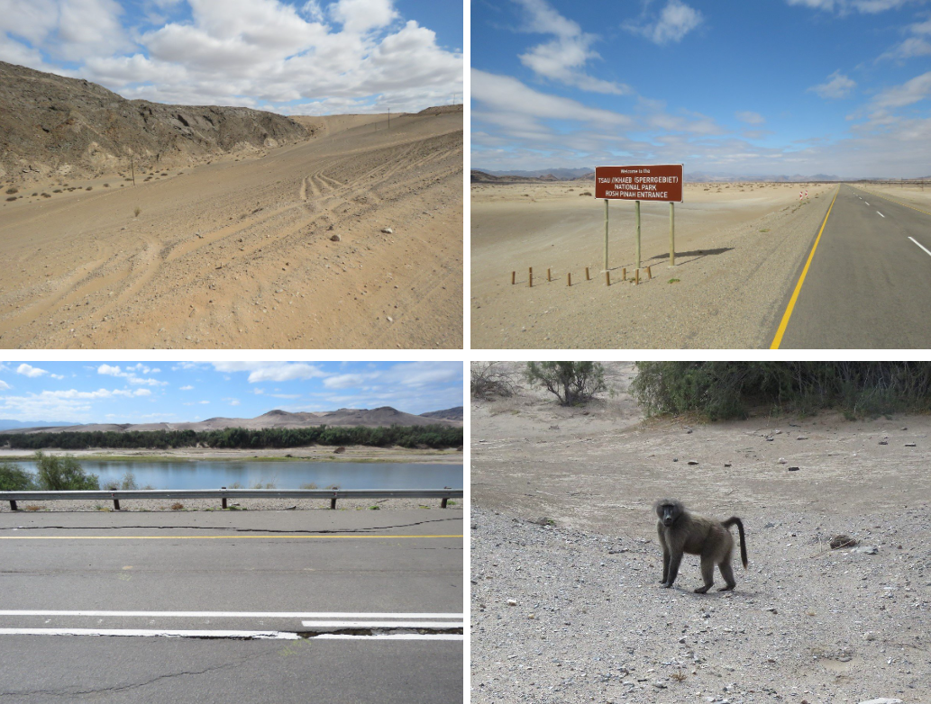
Where we were travelling now, we followed the Orange River for most of the time and eventually called it an early day and found a parking spot on a very sandy little beach. The descend on the soft and sandy path got me a bit nervous, but without (too much) trouble we got ourselves parked on a good spot and gave ourselves the afternoon off. Gavin went fishing and the rest of us went hunting for good photos, counting sheep and having a fine and relaxed time, thank you!
When we left the next morning, we continued along the river and even though the landscape is still grand and awe-inspiring and desolate, one can see everywhere the destruction mining had caused to this land. By then we had left the Richtersveld and had entered the ‘”Sperrgebiet”: the forbidden zone, because the area belongs to the mining industries. It’s a vast restricted area that’s controlled by the diamond (and other) mines. If you pick up a stone here and it would turn out to be a diamond, you’re not allowed to keep it. Of course… the chances of you finding a diamond just on the side of the road would be very, very slim indeed! It would be nice though!
Rehabilitation is more a fashion speak than the real thing. One can see the scarring of the landscape by the mining industry around every hill top and in every valley. Even though Stefaan (and others) keep saying that mining pays a lot of taxes to government, it is still mind boggling that a few smart guys who realised that diamonds (and other stuff) were abundant here, were able to strike a deal with government, get their hands on this area and restrict it to anyone else to visit. (Later, at Kolmanskop, we heard that this area is about 26,000 square kilometers big, sole proprietorship of the diamond mines and restricted to any visitor. To compare: Belgium, where we come from, is about 30.000 square kilometers. It is quite inconceivable to realise that 9/10th of Belgium would be restricted for visitors. That nobody could walk around and enjoy this vast area, because some big conglomerates are paranoid of someone finding a diamond).
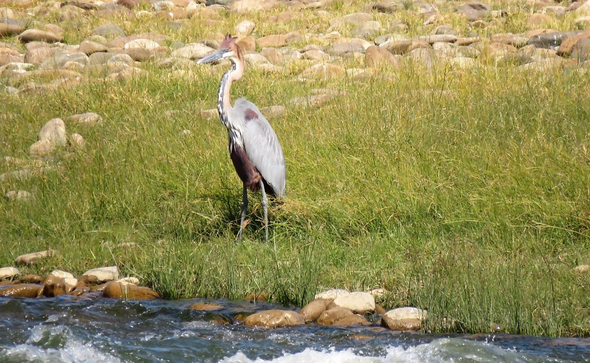
We saw a dam wall somewhere, we saw a bird somewhere and we saw even more of the expansive and desolate landscapes that are so different from where we grew up in Belgium and even Europe for that matter, gotten used to it a little bit in the Karoo, but are still gobsmacked when we realise the extend and vastness.
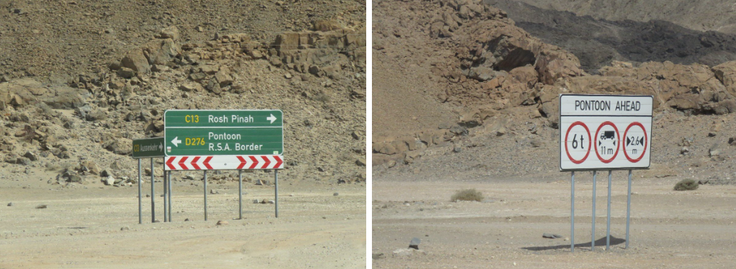
We passed yet another mine and we must have been close to one of the South African border crossings, because we saw the sign for the pontoon crossing over to RSA. Unfortunately that would be a border crossing that we would never be able to take, because the max weight for the transport would be 6 ton. Length and width were still ok, but we are a bit on the heavy side!
All the time we were travelling along roads with wide open spaces next to it, we could see that it looks like the locals (I presume) have lots of fun with off road driving and jolling in the soft sand. There are car tracks everywhere!
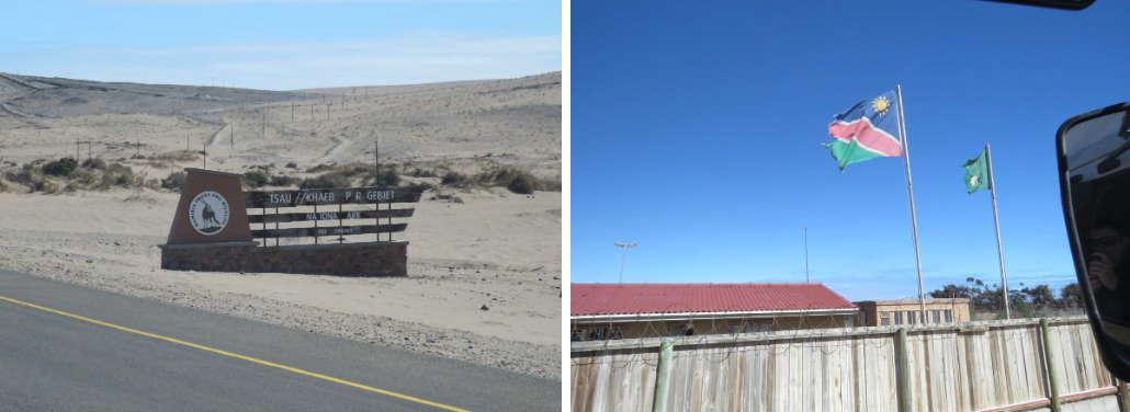
We eventually hit one of the main roads and turned left towards Oranjemund and entered yet another entrance into the Sperrgebiet! They call it National Park, as
We passed another mine or two and passed over a stretch of road that had being seriously damaged and we were just happy, that it wasn’t our unlucky moment that this part of the road would break away!
We had tea break, just past the road works, and a bit further there were some curious baboons checking us out from a safe distance.
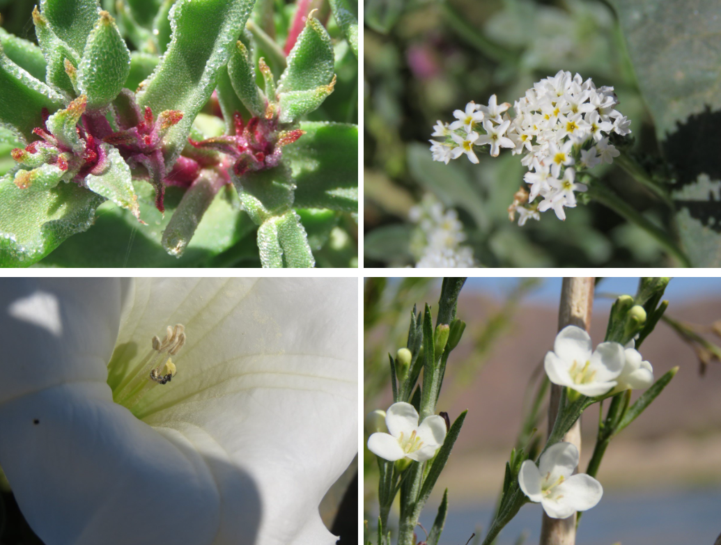
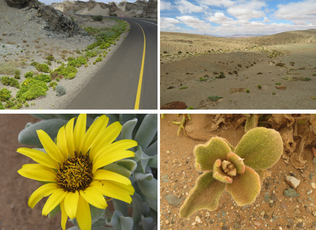
This desert landscape is all about grey, caramel and wheat colours and all of a sudden we hit a section where the roadside was decorated with bright pops of green and yellow and a whole variety of flower pompoms in the field. You learn quickly… where the green is… that’s where the water is and the green pompoms form lines and arteries in the sandy landscape.
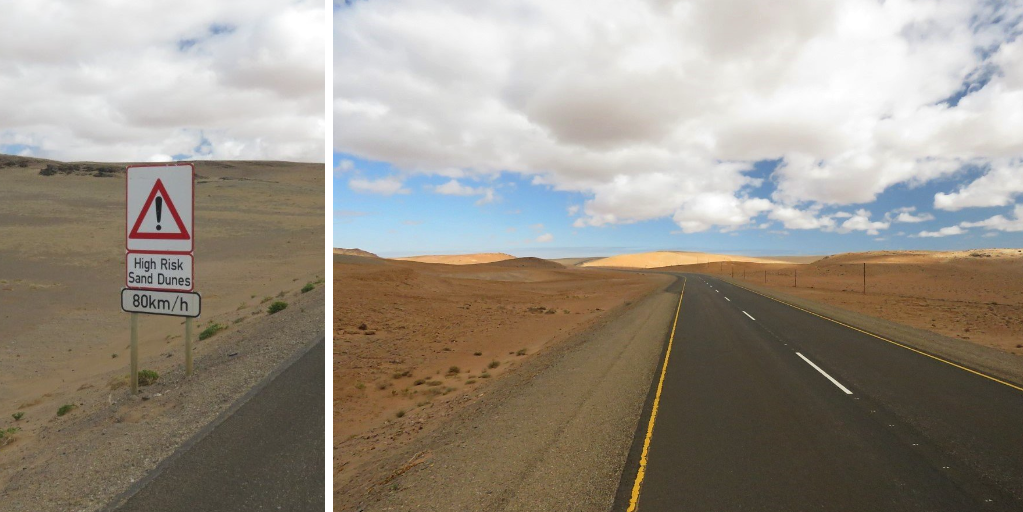
Even though we were still following the Orange River, the landscape subtly changed from rock to sand, sand and more sand. Creamy orangey rolling hills as far as the eye can see. And lots of signs warning you of the sand. Duh!
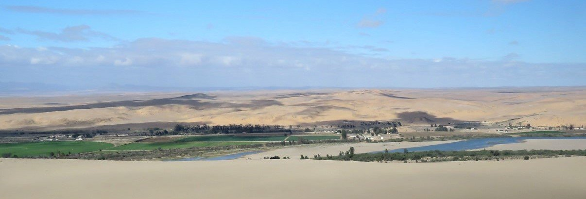
And then all of a sudden we hit a sparkling, bright green oasis. The Orange River flowed on our left and a farming consortium/community had established some massive circular irrigation systems. The bright green circles stood in stark contrast to the windswept, creamy landscape around it. The farms are on the South African side of the Orange River.
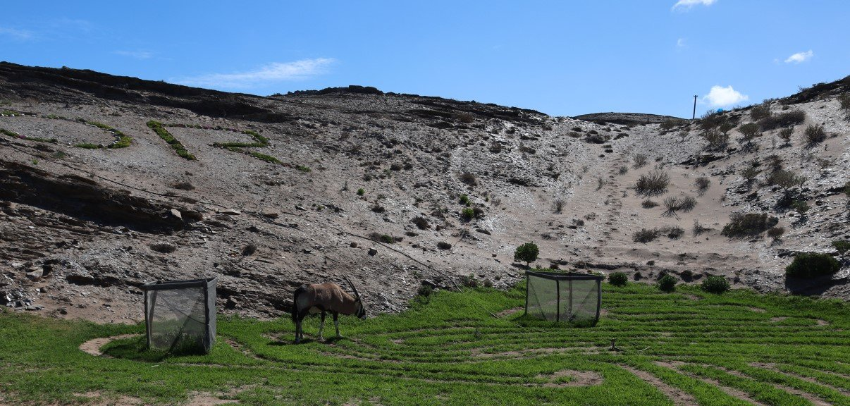
We left the National Park and passed the Oppenheimer Bridge border post between South Africa and Namibia, which unfortunately is currently closed due to Covid19. Right there, where we had to make a zig-zag kind of turn to come onto the last 6km road to Oranjemund we saw a gemsbok peacefully grazing on the well kept lawns. We had heard from Mike at Ai Ais that gemsbok in Oranjemund are very domesticated and roam the streets and parks as if the place belongs to them.
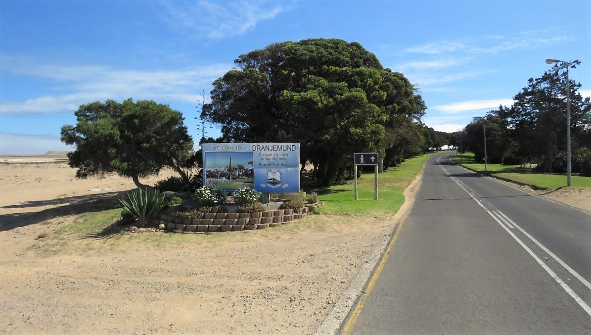
Shortly thereafter we entered Oranjemund: another green oasis in this huge sandpit!
We were now going to look for Mike and see what Oranjemund had in store for us.
Enjoy the video.
For more photos, clips and videos follow us on


Richtersveld and Sperrgebiet