So far we had done better time than anticipated coming up from Puros so we decided that we would like to venture into Marienfluss… even though we realised it would be a return trip because the only other way out towards Epupa Falls would be the Van Zyl’s pass and that was a definitive no-go. Stefaan had watched a you-tube clip or two about said pass and decided that this was definitely not one we would risk to do with Trokkie. My sister had told us very much the same!
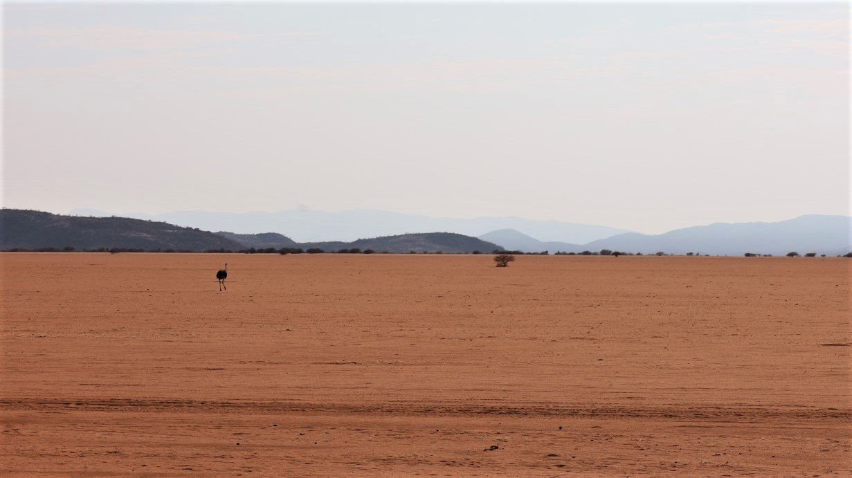
We left our cosy spot in the riverbed and headed further north, through orange deserts with solitary ostriches, spotting the odd tombstone, sitting lonely next to an older pile-of-rocks-grave with views over the rocky desert.
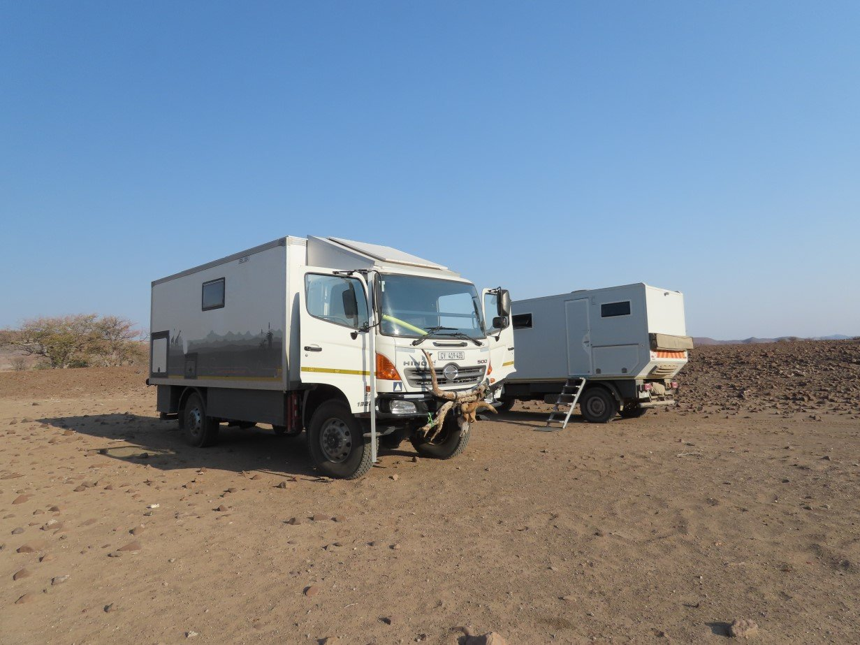

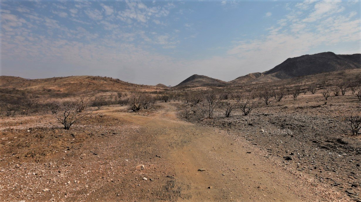
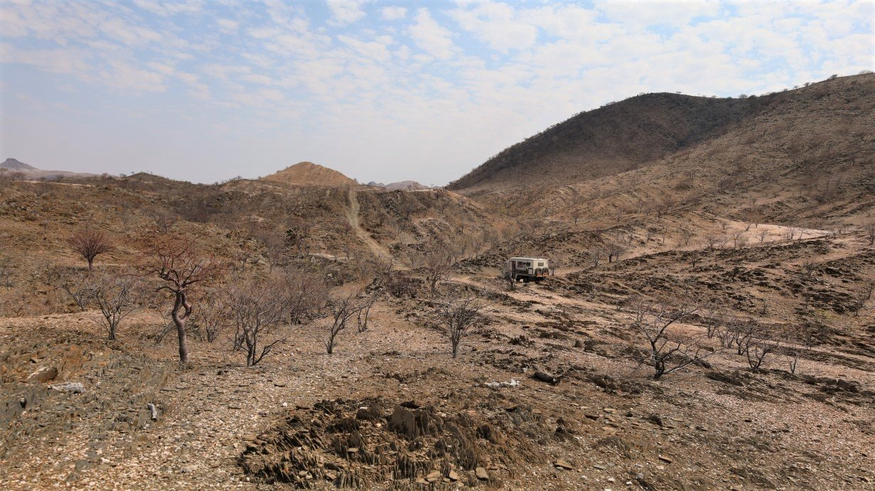
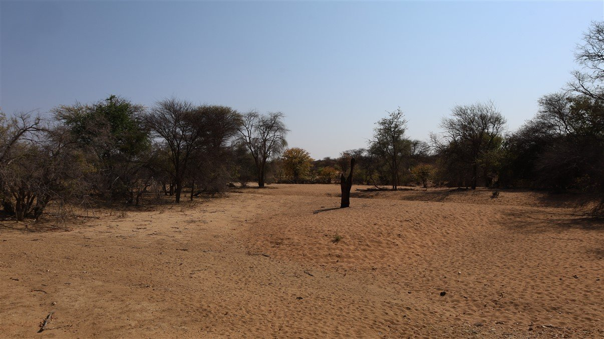
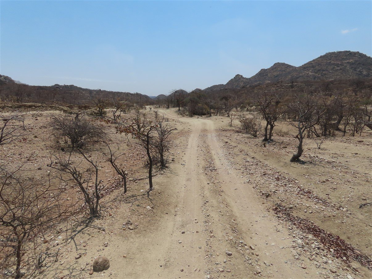
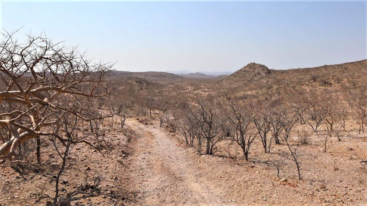
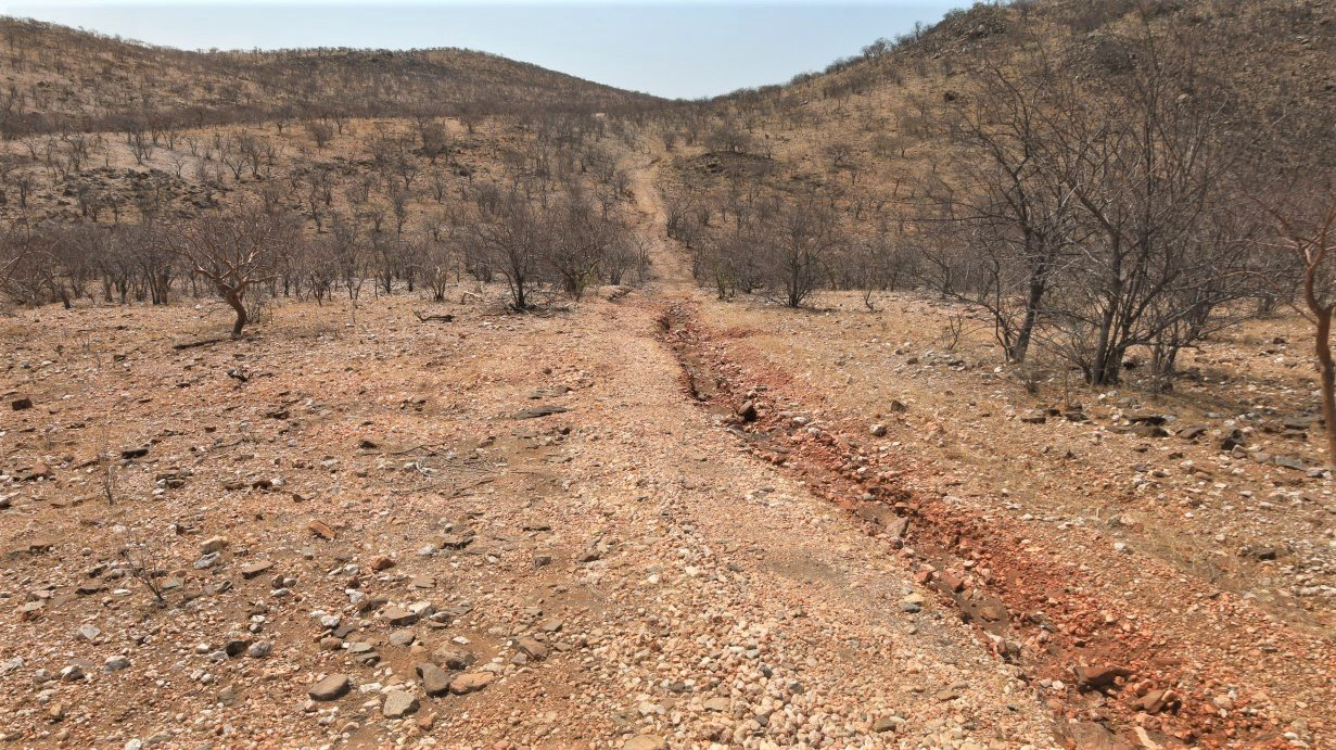
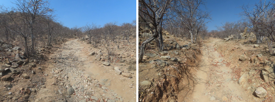
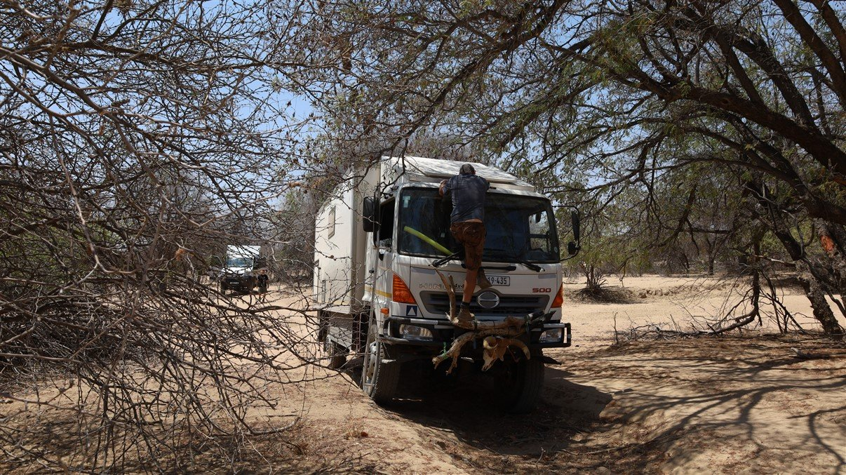
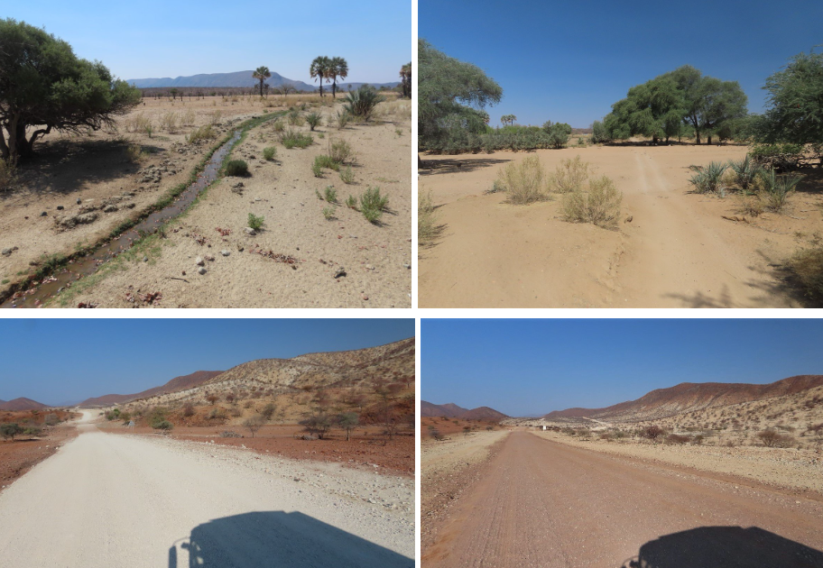
But Marienfluss eventually seemed a bit of a challenge in its own right. A fair distance past Orupembe we turned left onto another dirt road. This is wild and rough country, with narrow passages and rocky roads and low trees which made for difficult track negotiation and heaps of scratches!
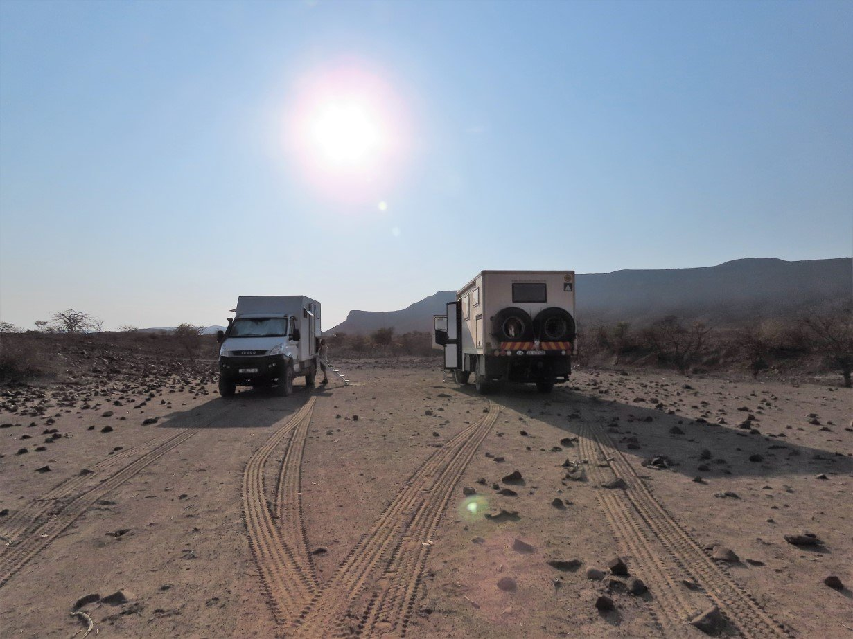
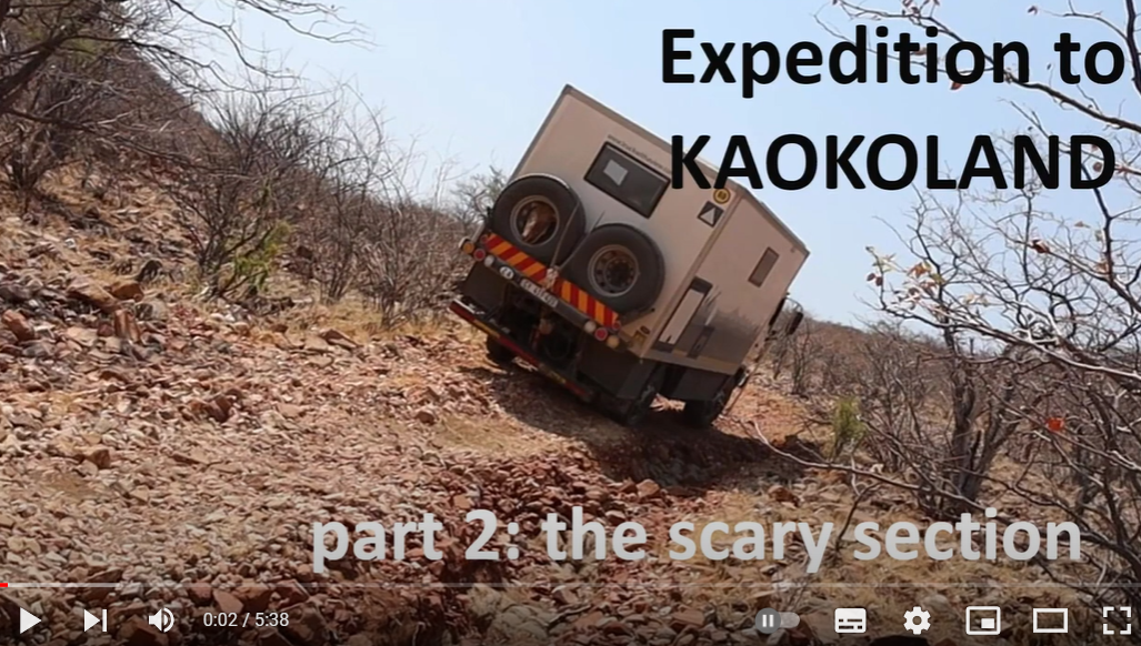
Be it rocky and a bit challenging from time to time, all went well till we hit an uphill that we didn’t think we could do with our home on wheels: a fairly long, steep, and very bouldery (rocky) uphill. The worst part: it looked pretty narrow and we were really worried about slashing the tires. Gavin and Lee gave it a try with their Moglet and made it all the way up: they are slimmer and more agile than us!
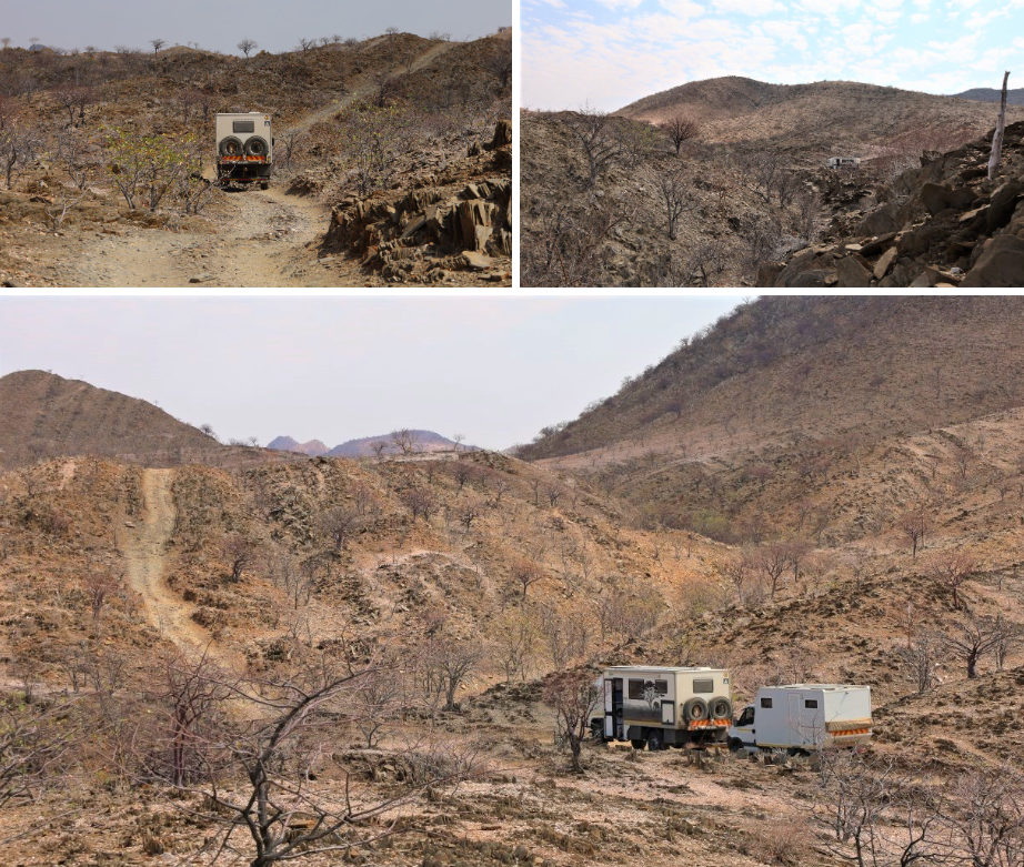
But… as we had planned to do this part of the route together, they made a U-turn on top, drove down the rocky road and we all returned to the point where we had turned off.
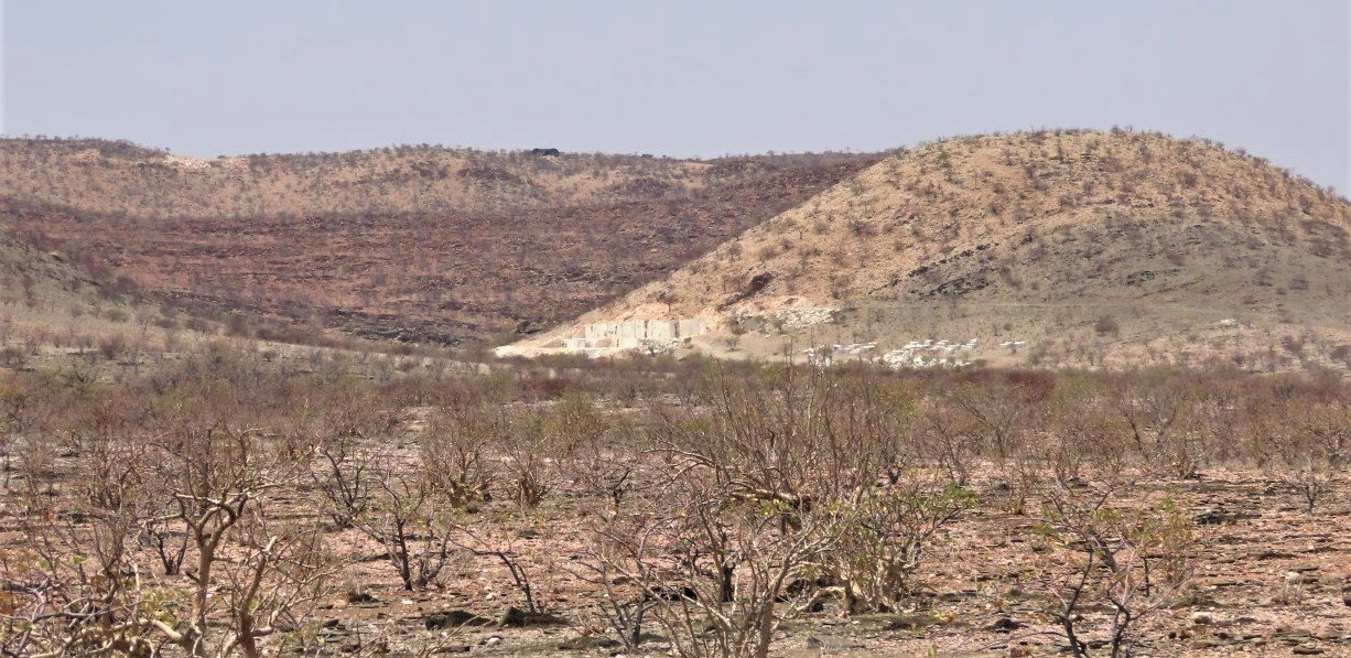
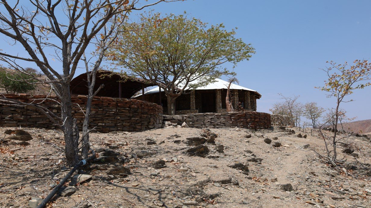
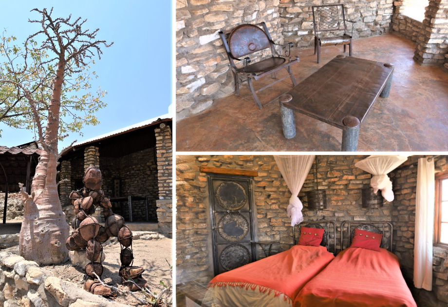
On our way out of that particular road we passed the Marble Campsite. Gavin and Lee had stopped there on the way in and had raved about it, so we followed suit and stopped there too. The hills around there are cut up with marble quarries like the hills in the Karibib/Omaruru area when we travelled to the Erongo Mountains. Although the campsite was empty we had a look around at the rondawels and they were so cool. Much in the style of Twyfelfontein with its recycled oil drum scenario, these rondawels were also created with a mix and match of recycled and environment friendly solutions. There we found some more of the Stone Men sculptures and assumed that the idea and maker originated from this place.
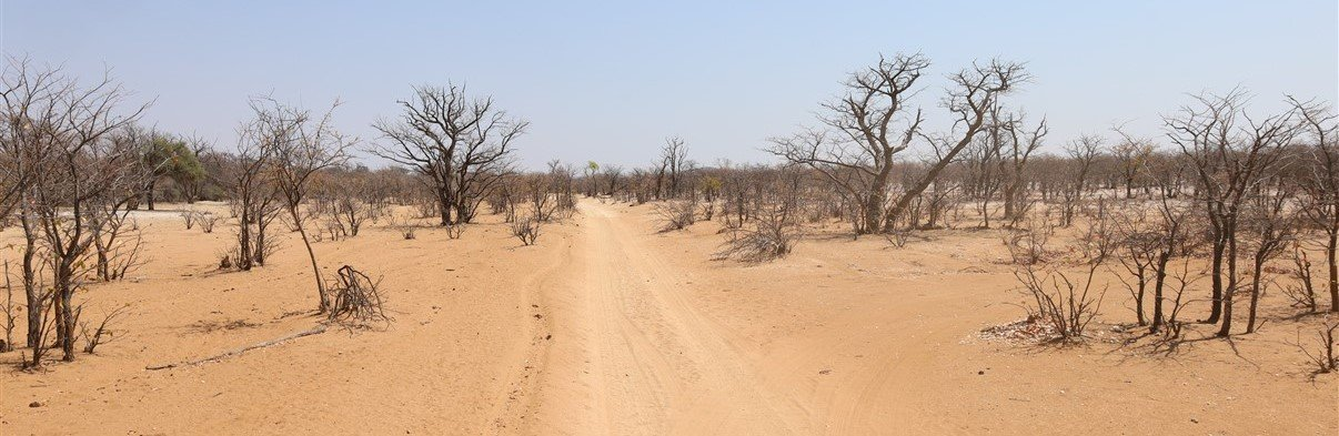
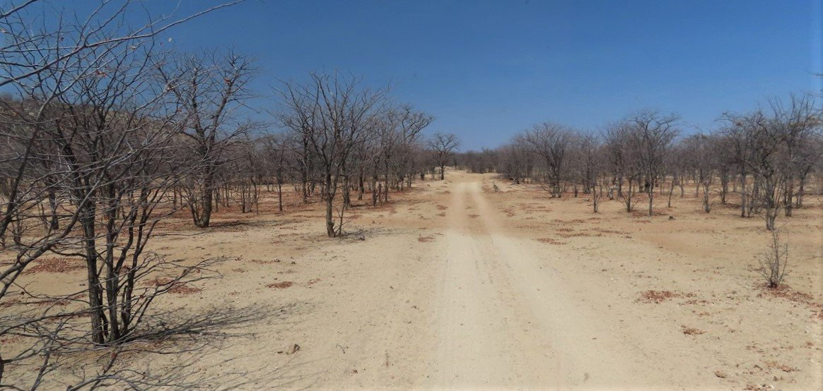
We took the only other road- besides the dreaded Van Zyl’s Pass- towards Epupa Falls and spent the next few days driving though a very rough and extremely challenging landscape.
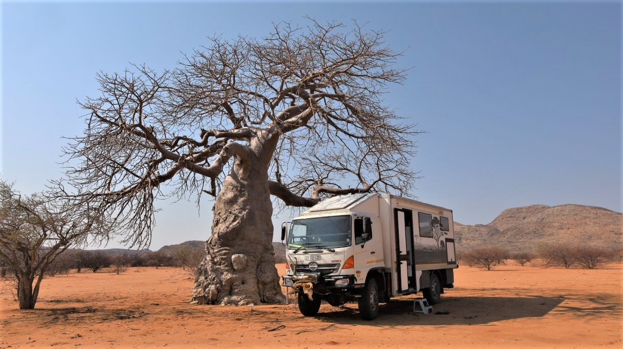
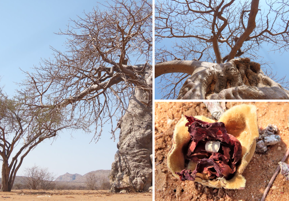
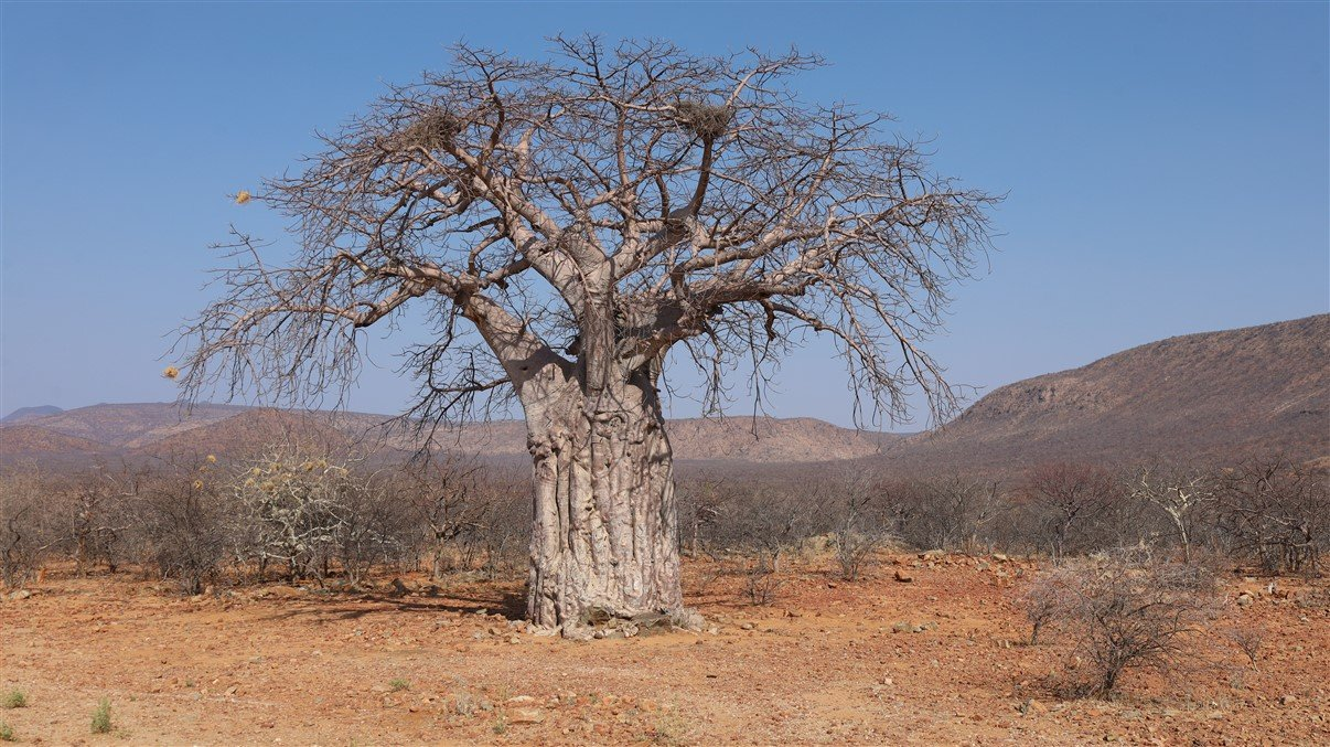
We saw more of the weird looking Bottle Trees and had a coffee break under the first Baobab tree we saw in that area.
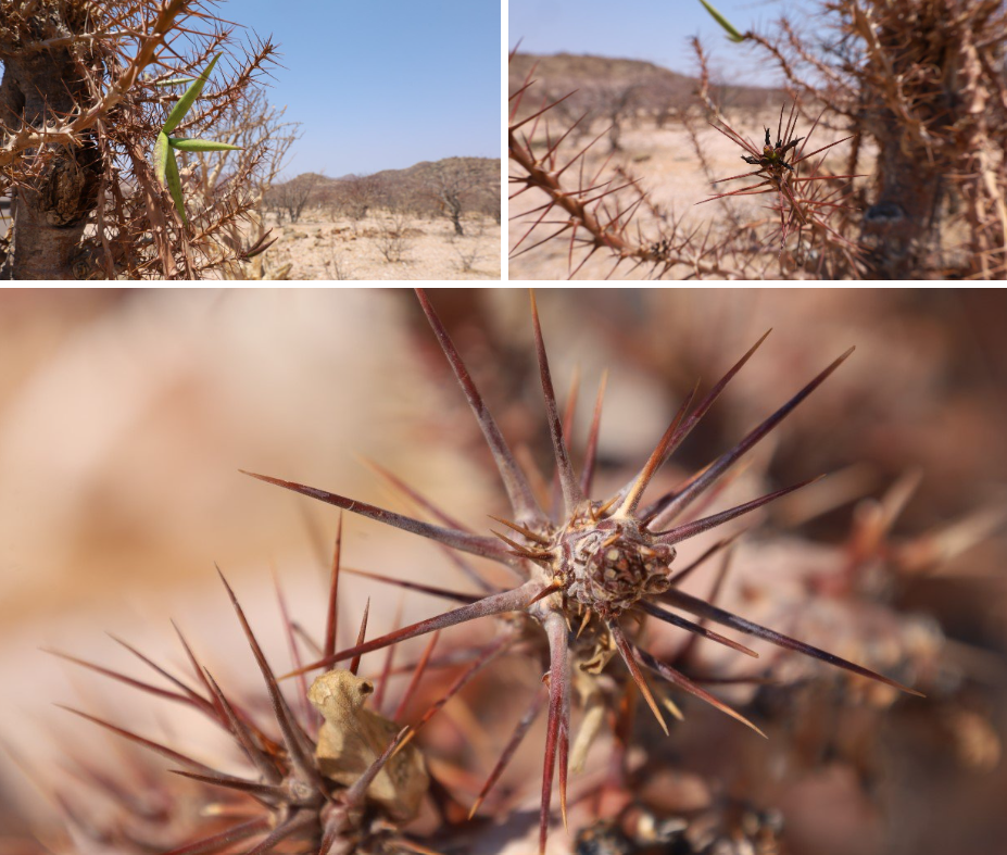
And more would follow suit. Although there are millions of trees and plants around, it’s the quaint and different ones that capture most of our attention: the baobab and bottle tree just being a few of them. I also get fascinated by seeds, flowers, thorns and other details that make up the flora kingdom.
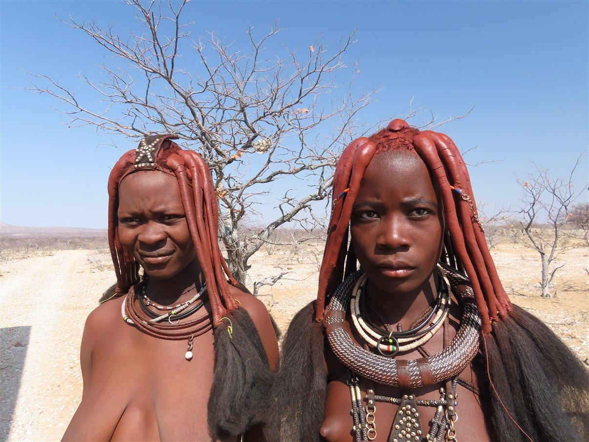
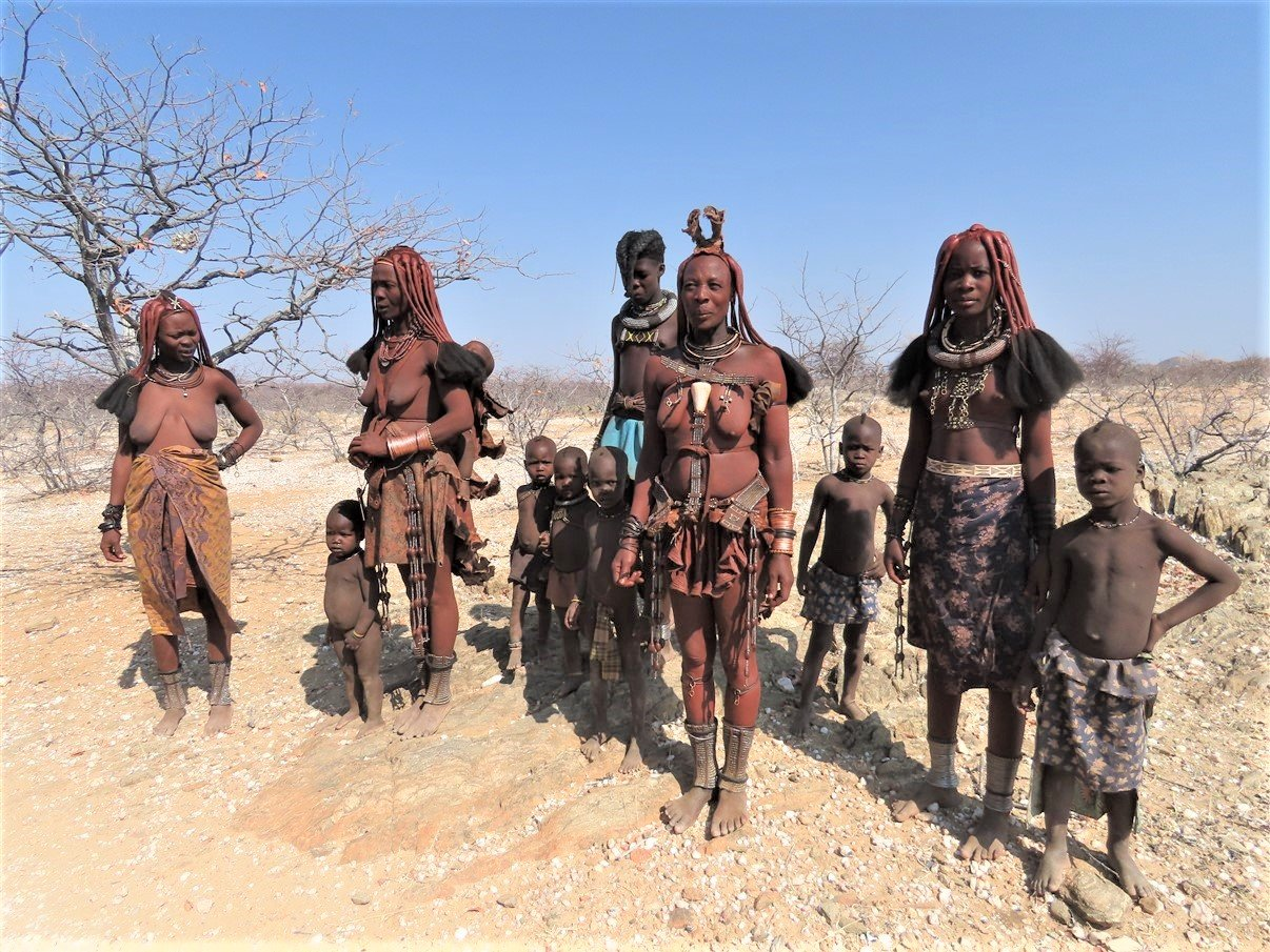
The more we moved north, the more Himba settlements we passed. At one of them the women were dancing in the road and I wanted to stop and take photos. It was difficult to chat because they didn’t seem to understand English and we definitely don’t understand their language. It was clear however that they wanted money or other goods to trade. After a short negotiation we traded sugar and rice (and some money!) for taking their photos. It was interesting though that- with their lifestyle rooted in age old traditions- they were in turn fascinated with my necklace and we heard them mentioning the word “gold”. So, even in their primitiveness, they do recognise values from a western world. We also picked up on the fact that it seems predominantly the women who carry the can for keeping tribal traditions high, because most of the men we saw in the villages and kraals were dressed western style without a single tribal detail.
As we moved further up in Kaokoland we figured out that, although Kaokoland seems to be the least populated area of Namibia, the Himba settlements are dotted all along the “tourist roads” and many of the kids and adults alike ask for food or money. When they see a tourist car coming the kids run to the road with outstretched hands.
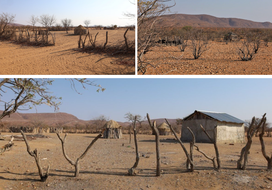
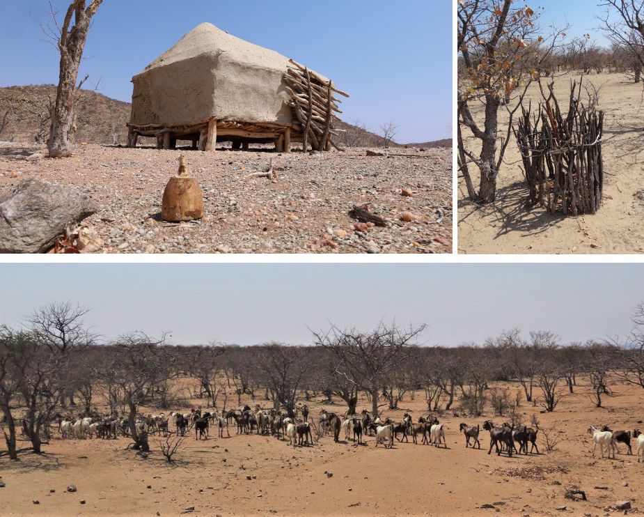
The settlements seem to be everywhere… with the accompanying kraals and some with huge herds of cattle and goats. Some kraals seemed to be seasonal and were empty. It was interesting to see how we saw some of the huts “locked up” for the season with sticks boarding up the front door. The settlements vary from the typical kraal with a variety of mud huts inside to a scattering of a few huts or even single huts, which we presume might be of herders who live there when their animals graze that particular area,… a bit removed from the family-kraal.
Another thing that fascinated us was the protection of trees: in some instances we saw a circle of sticks planted around a tree. We don’t know if these trees had special value for the communities or what the reason might be to put these stick fences around some trees and not around others.
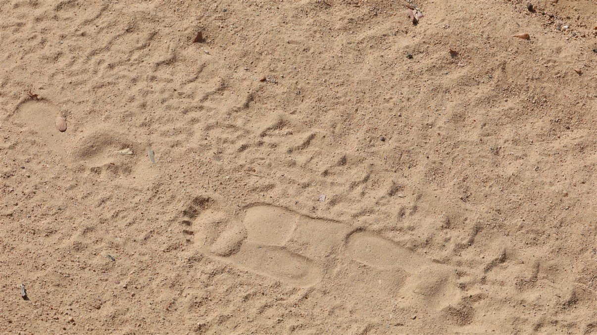
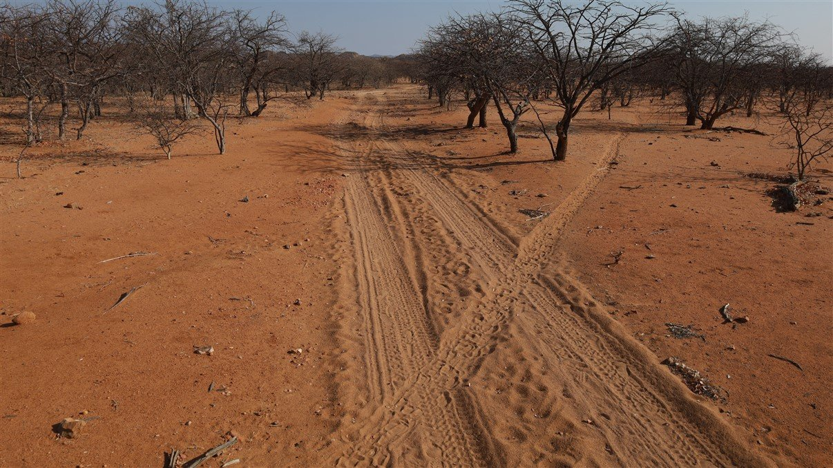
In this wild and big country we were not really surprised to see lots of human footprints along the road, but were still fascinated to see barefoot prints next to shoe prints, animal prints and car tracks.
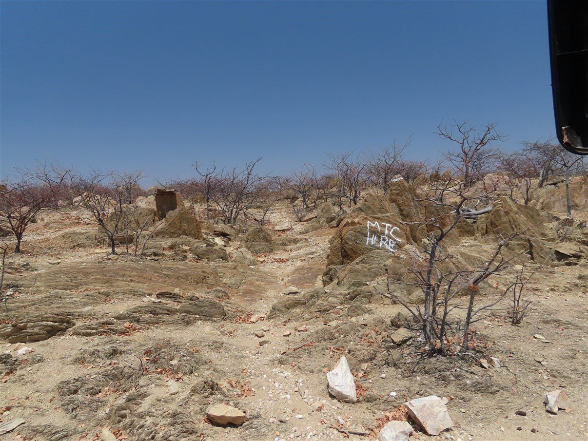
We understand that even in this wild and remote area, modern life has caught up and every village or settlement has at least a shebeen or bar. And we presume that in one or other way the local communities do have cellphones, because on a random rock, in the middle of nowhere, we saw advertising for the local cell phone provider MTC.
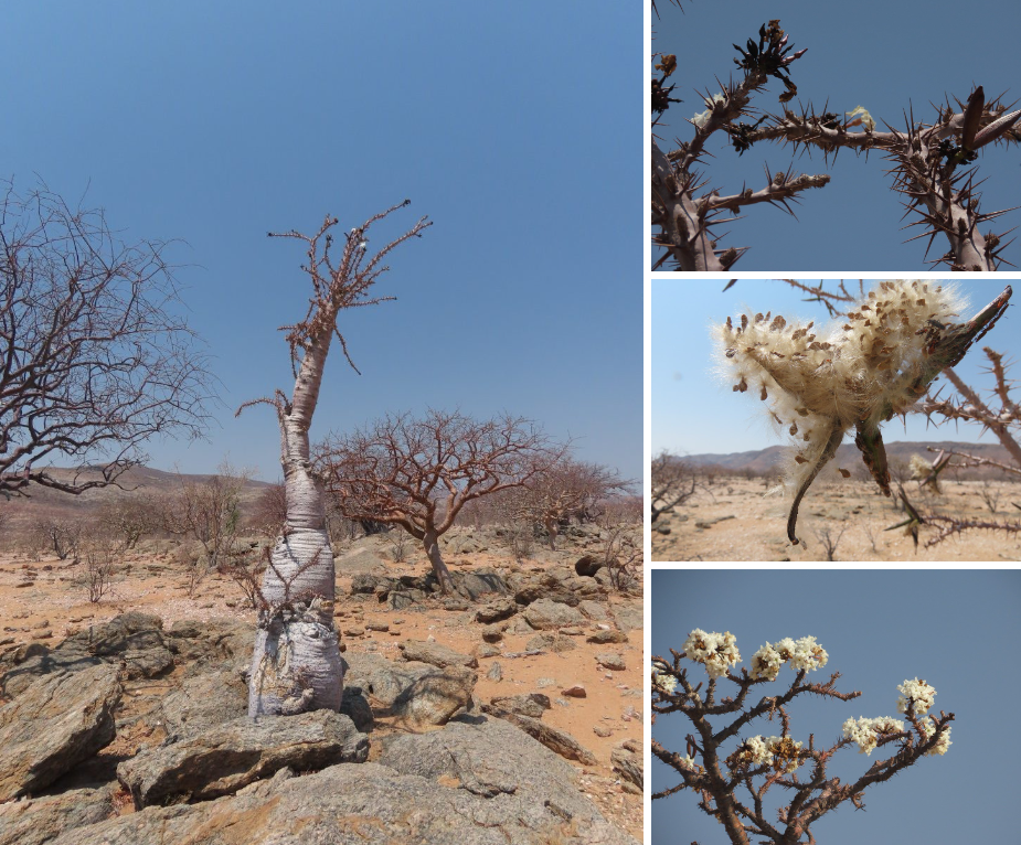
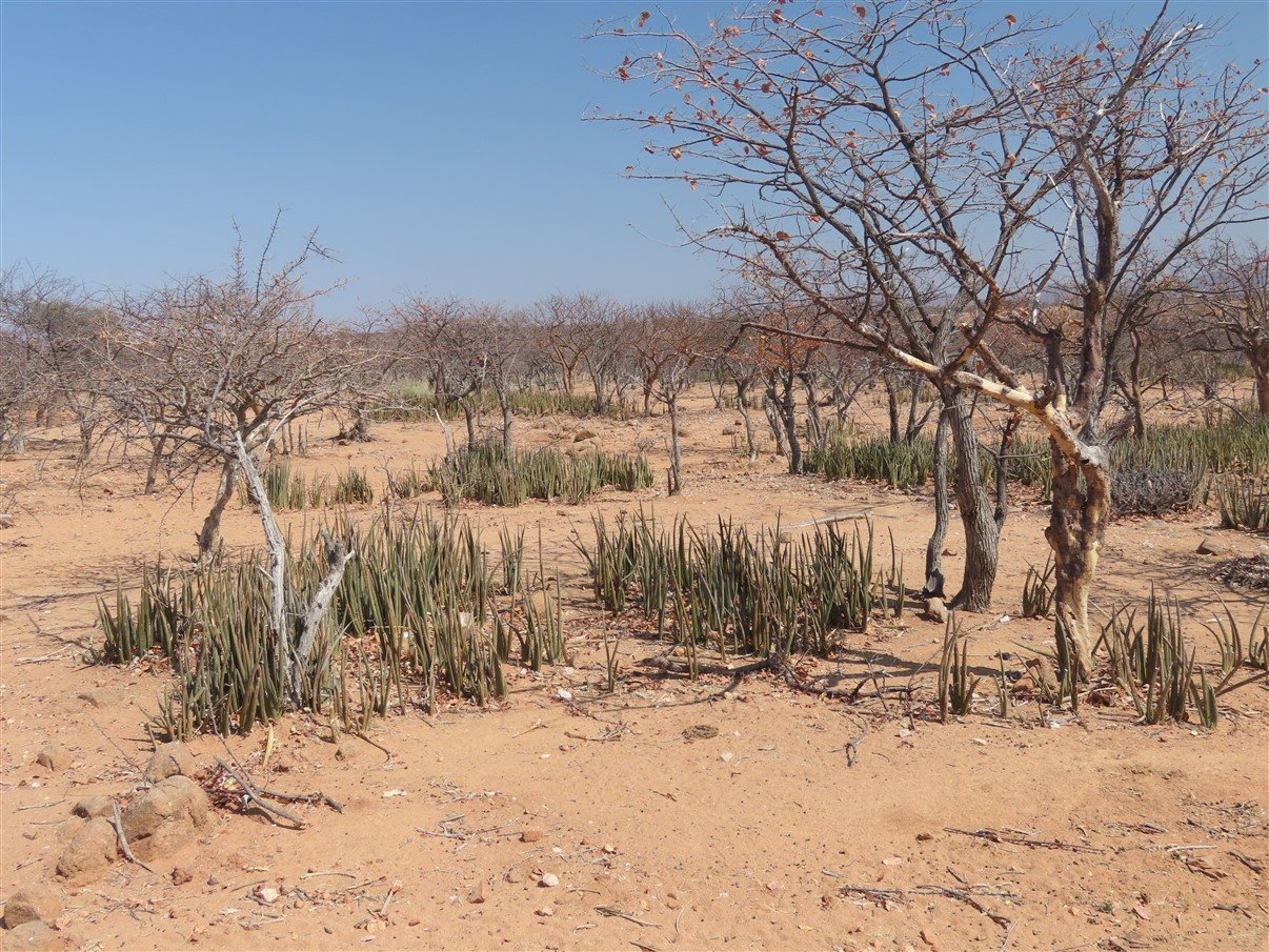
The land we passed through was very dry and very thorny! Some of the trees/bushes have seriously hard thorns that can be up to 10 cm long. Trokkie got a very hard ride, because there we sections where we just couldn’t prevent pushing though narrow thorny walls on both side and the thorns screeched on Trokkie like a nail on a black board! Some had beautiful flowers, shapes and seedpods through!
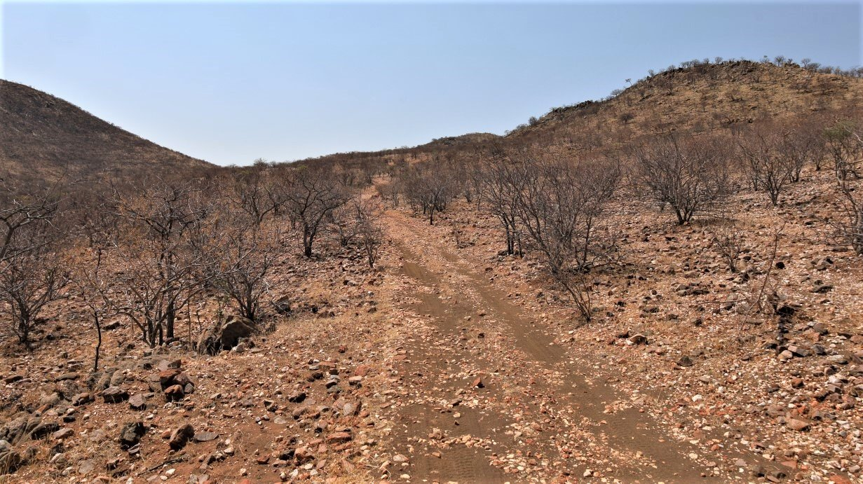
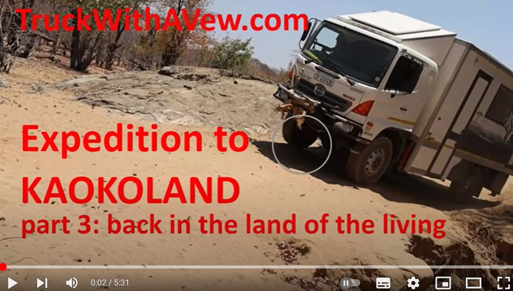
As said… the Van Zyl’s pass has a reputation of being one of the most dangerous and challenging passes and we were not planning to do it. We had taken the only alternative road going all the way to the falls. This unfortunately was a road that we HAD to complete and much to my disdain there were parts of the road that made some of our previous scary moments during our travels so far look like child’s play: just unbelievable!
Every time we came to a section that seemed insurmountable to me I groaned ”oh no, not again!” Trokkie coped extremely well even in narrow riverbeds and steep and rocky inclines. Stefaan did an extremely good job as driver. The only one not coping so well was me: I think I died a thousand deaths!
On the pretext that some dodgy sections needed to be recorded for posterity (and you tube) I got out several times to video tape the scary descends or climbs and Trokkie laboriously negotiating her way over the totally impossible tracks. At one moment we were doggedly crawling our way up onto a very rocky, narrow path (couldn’t really call it a road, it looked more like a dry riverbed) and low and behold… there was a bakkie coming from the other side. Luckily he had seen us coming and had stopped on the only section that was a bit wider, where possibly 2 cars could pass, but it was still a very tight fit and a millimetre shuffle to pass each other.
When we eventually passed that particular section we started to look for a place to park and sleep. I had had enough adrenaline pumping for one day!
Lee hauled out the G&T because, after these very hairy parts of the track, we all needed a fixer-upper to chill out. A local Himba community member came around and Gavin and Stefaan had to negotiate a fee to park and stand next to the road. This part of the world (Kaokoland) seems to be ruled by chiefs and local communities and sometimes they’ll want a fee for ‘camping’, although in our case it was just parking along the roadside instead of proper camping. Their ‘camping’ fees don’t offer any facilities like water, electricity or ablutions. You pay camping fees just because it is their land. We don’t know really how it works with tribal land and government (Namibia) land, but it seems like an unspoken rule. In all fairness: we were only asked once for a “parking fee” in about 4 or 5 days that we travelled through this very remote, northern part of Kaokoland.
The next morning, after these few days on extreme 4×4 tracks, the road became much “nicer” and we rode through sections with more open sand between the thorny trees, crisscrossed by spoor of buck, cattle and goat (and human). Although the road was a whole heap better than the previous days, we still had the odd hiccup en route.
At one stage we had to pass through a dry riverbed and climb up the other side under a tree branch that was way to low and would definitely take out our solar panels. Eventually it became an exercise to uproot and take out part of a tree to ensure Trokkie came out reasonably om on the other side.
And a while later we had to pass alongside a washed away road and Trokkie had to juggle over a hump too steep for comfort and possibly had only 3 wheels on the ground… luckily for me, I was on the outside.
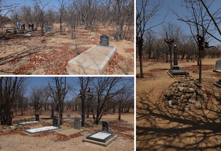
We also saw graveyards on a regular basis with proper, western looking, engraved tombstones and some had tombstones painted in the typical namibia blue that we had seen around on fencing and so, and would see even more at the kraals alongside the Kunene river.
The one graveyard had various collections of horns standing with each grave. It seems that the number of cattle horns decorating the tree closest to your grave indicates your wealth. We also surmised that maybe it could be a matter of status to afford a proper western tombstone, but we also toyed with the idea that perhaps these graves- more than the traditional tribal pile of rocks- might go a long way to establish ancestry on particular land sections.
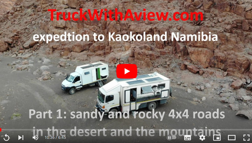
Enjoy the video’s of our trip through Kaokoland!
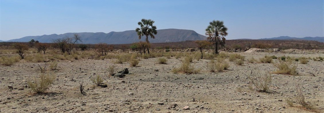
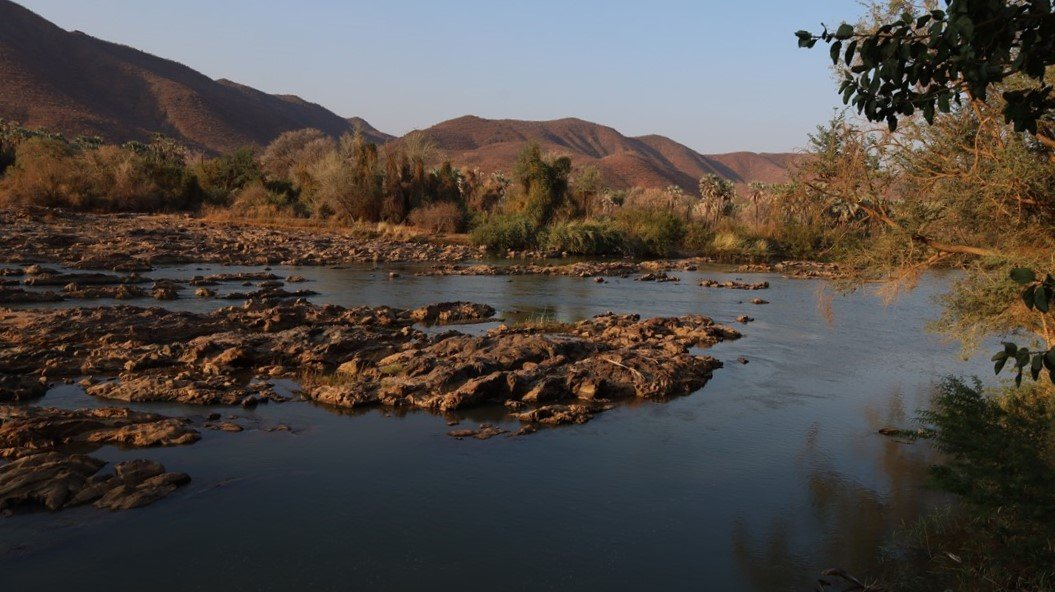
Now getting closer to the Kunene River, the landscape changed from dry and thorny to green, lush with palm trees replacing the mopane trees!
We eventually hit the main road and covered the last part of the track to Epupa Falls.
Closing in to Epupa Falls, we saw a sprinkling of Himba settlements along the main road. The hills were a wonderful canvas of white and orange with specks of green dotting the hill sides. It reminded me a lot of the Breakaways Mountains in Coober Pedy in the Australian Outback.
At Epupa Falls we booked in at a community campsite (with water and electrity) and the falls right on our doorstep. Together with Gavin and Lee we celebrated our 39th wedding anniversary with a nice meal and a good bottle of wine at the restaurant.
We had made it through the really rough terrain of Kaokoland and were looking forward to travelling alongside the Kunene River at the border with Angola, for the next few days.
For more photos, clips and videos follow us on


Kaokoland part 2